Stavanger
White lanes, a painted street and the oil museum — all within fifteen minutes of the quay.
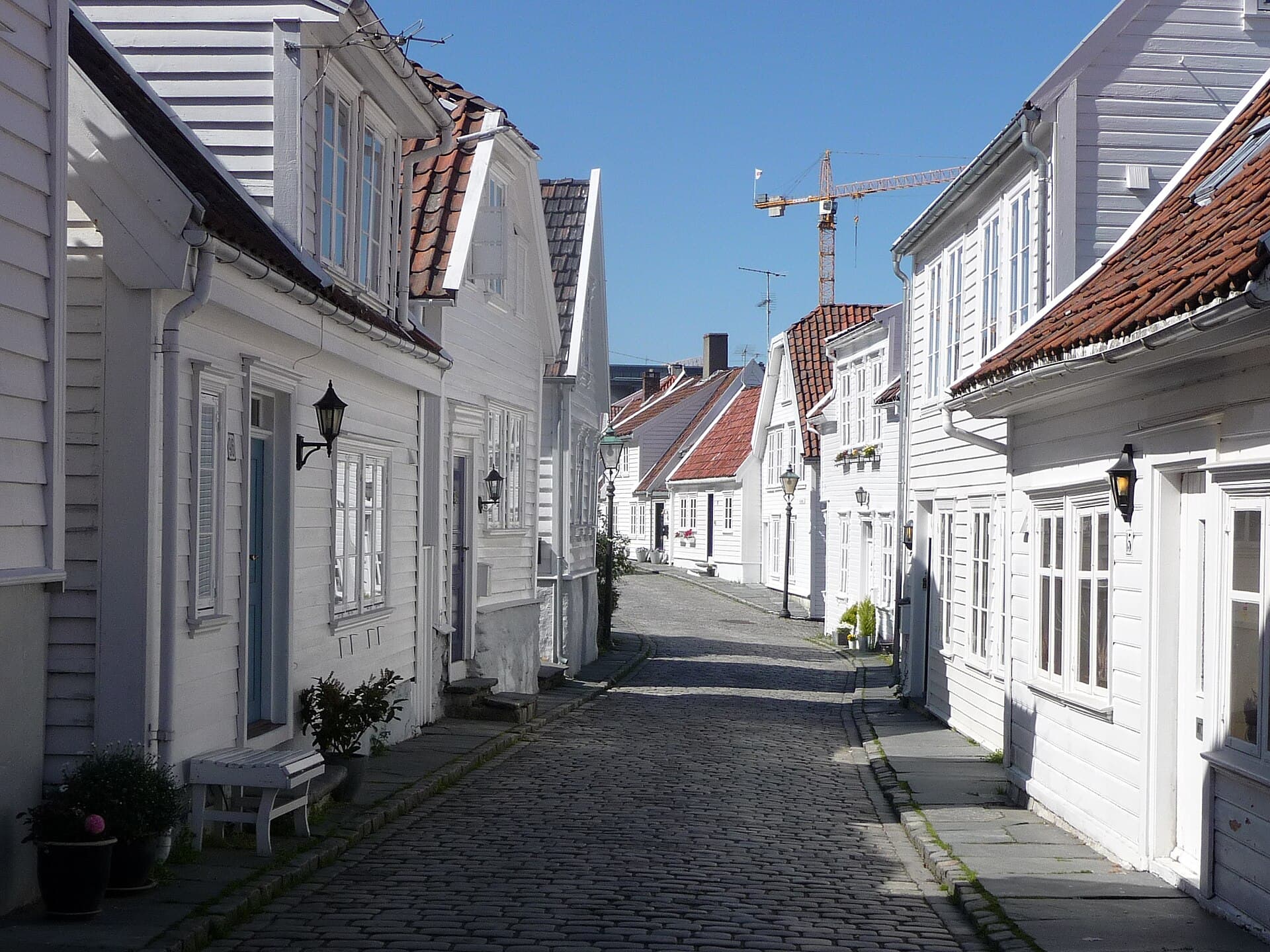
Stavanger has two centres and they are a hundred metres apart. On one side of the harbour is Gamle Stavanger, a hillside of white weatherboard houses kept from demolition in the 1950s by one stubborn conservator; on the other is the city that oil built, with a museum on the waterfront explaining exactly how. Between them sits a cathedral begun in 1125 that has been in continuous use ever since. It is the most compact port in the catalogue: nothing on the first two routes is more than fifteen minutes from the gangway.
Going ashore
You berth in the middle of town. Ships tie up along Skagenkaien and Strandkaien, the two quays of the Vågen harbour basin, with restaurants on one side of the ship and the old town on the other — no shuttle and no walk in. Larger ships berth at Bjergsted, north-west of the harbour mouth, which adds twelve level minutes to every time. Preikestolen, the cliff everyone asks about, is about forty minutes each way by bus or boat-and-bus and four hours of walking on rock; the guide gives the real timings and says plainly that it needs eight hours ashore.
The walks
- 01
The harbour bowl
3.9 km · 2 hours · 40 m upThe white wooden town, the quay, the cathedral and the lake, up the watchtower hill and down through the painted street to the oil museum's outside. Nine stops, one ticket at most, never more than ten minutes from the ship.
- 02
Oil, sardines and the cathedral
5.2 km · 4 hours · 55 m upRoute A with the doors open: the cathedral inside, the watchtower climbed, 75 minutes in the oil museum, and the sardine cannery at the end, three minutes from the gangway. Thirteen stops.
- 03
Våland, the lake and the swords
10 km · 6 hours · 110 m upSouth out of the centre and up to the Våland tower, round Mosvatnet lake to the art museum, then out to Hafrsfjord and the three bronze swords where Norway was made one kingdom. Eight stops, and the bus back.
What's inside
Look inside
Pages 1–6 are in the free sample. 38 pages in the full guide.
What the guide covers
- Vågen harbour
- Gamle Stavanger
- Norwegian Canning Museum
- Norwegian Petroleum Museum
- Geoparken
- Stavanger Cathedral
- Breiavatnet
- Øvre Holmegate
- Valbergtårnet
- Vålandstårnet
- Mosvatnet
- Stavanger kunstmuseum
- Tou Scene
- Godalen
- Sverd i fjell
3 routes · 36 numbered stops · 38 pages
When to go
Stavanger is the mildest port in the catalogue and the wettest after Bergen — autumn and winter are grey and rarely freezing, and the old town's cobbles are slick rather than icy. Route C runs from late April, and June and July are its best months; from September the guide keeps to routes A and B. Sverd i fjell, the three bronze swords driven into the rock at Hafrsfjord, is 6 km from the centre: route C walks out to it and takes the bus back.