Nordkapp
Knivskjellodden, Kirkeporten and the plateau — including which one is actually the northernmost point.
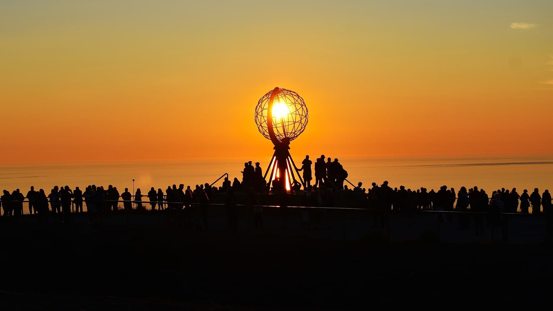
The North Cape is a slate cliff on the island of Magerøya with a globe sculpture on top of it, a visitor centre under it, and a coach park beside it, and it is not the northernmost point of Europe — Knivskjellodden, the low spit visible to the west, reaches about a kilometre and a half further north, and you can only get to it on foot. That gap between the monument and the fact is the reason this guide exists. Magerøya has no trees, no shelter and very little soil; the walking is over open tundra where the weather decides everything and the path is a line of cairns.
Going ashore
Honningsvåg is the port, and ships come alongside in the middle of the harbour — the biggest tender to the same quay — 100 metres from the museum and tourist office and 200 from Storgata. Storfjellet, the hill behind the town, is the one walk from the gangway; nothing at the North Cape is walkable from the quay: the plateau is 34 kilometres up the E69, about forty-five minutes by the public bus or a taxi, and the Knivskjellodden trailhead is a marked car park 6 kilometres short of it. This season's bus times were not confirmed at press and are printed as blanks, so the bus walks are written for an assumed 09:00 departure. The guide is direct about the one thing that matters — the long route needs a ship in port for ten hours and a taxi booked both ways.
The hikes
- 01
Storfjellet, the hill behind the town
4.5 km · 3 hours · 300 m upThe only walk that starts at the gangway. Through the town to the 1885 church, then a marked path up 300 m to a summit with a hut and the whole south of the island below. The free chapter.
- 02
Kirkeporten, the arch at Skarsvåg
3.5 km · 1.5 hours · 100 m upA short climb from the northernmost fishing village to a hole in the rock with the Nordkapp cliff framed in it. The best view of the cape is not from the cape; it is from here.
- 03
The plateau on foot
4.5 km · 2.5 hours · 120 m upWhat the coach does, then what it does not: the Globe, the monuments, and the two edges of the plateau where the crowd is not. Level, windy, paid entry.
- 04
Knivskjellodden on foot
18 km · 9 hours · 350 m upNine kilometres of marked tundra from the E69 to a low headland 1.5 km further north than the cliff everyone photographs, and nine back. No road, no shelter, no crowd, a book to sign. Read page 16 first.
What's inside
Look inside
Pages 1–6 are in the free sample. 34 pages in the full guide.
What the guide covers
- North Cape plateau
- The Globe monument
- Children of the Earth
- Stor-Kappa
- Knivskjellodden
- Kirkeporten
- Skarsvåg
- Honningsvåg
- Honningsvåg church
- Storfjellet
- Magerøya
- E69
4 routes · 31 km · 34 pages
When to go
Midnight sun runs from 14 May to 29 July and is the reason to be here; the plateau at one in the morning under it is a different place from the plateau at noon. July and August are the season, 8–12 °C with wind most days and every trail open and marked; the Knivskjellodden path is snow-free only from about mid-June to mid-September, and in May the plateau is still under snow. From October to May the road to the cape is convoyed in snow and closed in storms. Fog is the real hazard rather than cold — it sits on Magerøya for days at a time, and on a cairned tundra path with no landmarks the guide's rule is to turn back at the first cairn you cannot see the next one from.