Lofoten
Four walks from the quay in Svolvær — Svinøya, Tjeldbergtinden, the 503 steps to Fløya, and three peaks in a day.
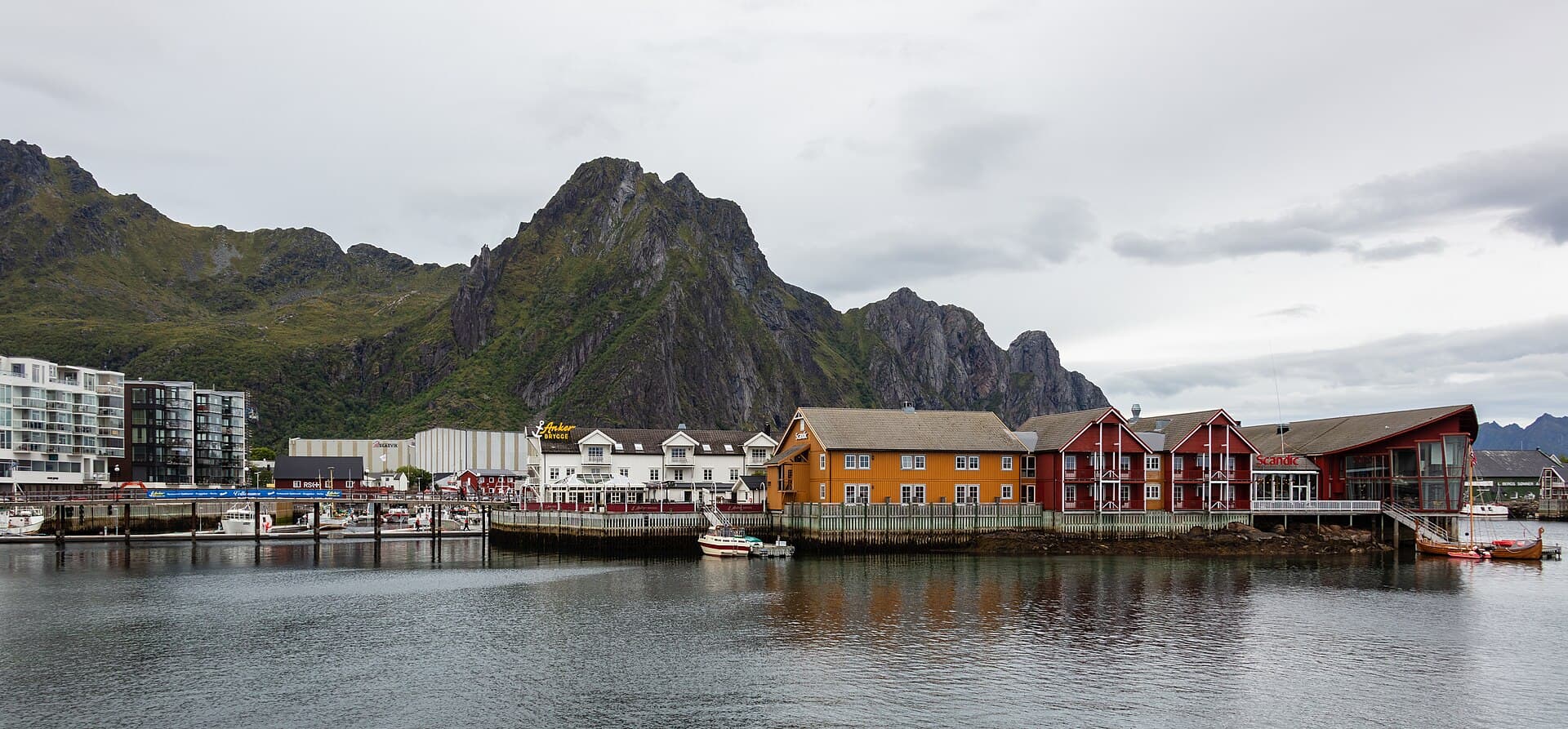
Svolvær is a town of about 4,700 on Austvågøya, the northernmost of the big Lofoten islands, with its mountains directly behind it — 590 metres of them, twenty minutes from the square. The scale is deceptive: the summits are only 367 to 621 metres, so the walks are short — and they are steep for exactly the same reason. Walk C climbs 590 metres in 6.4 kilometres and walk A 40 in 3.4, which is why this guide asks you to judge by the metres rather than the kilometres. The compensation is that three of the four end on a summit above open water, and none of them needs a bus.
Going ashore
Smaller ships come alongside at the town quay in Svolvær and larger ones anchor and tender in; both land you within 300 m of Torget, the square, where all four walks begin. No bus, no booking, no transfer — every walk here starts on foot from the quay, and the tender adds thirty minutes at each end. Buy water and food at the square before you set off: there is nothing to buy, no tap and no toilet once you leave town on B, C or D. The famous viewpoint walks at Reine are two hours away by road and are not in this guide.
The hikes
- 01
The harbour and Svinøya
3.4 km · 2 hours · 40 m upAcross two bridges to the island where the town started: fishermen's cabins, cod drying racks, a painter's gallery. Six stops, flat, all on pavement. Choose this on a short call, in rain, in winter, or with anyone who is not walking uphill today.
- 02
Tjeldbergtinden, 367 m
8.6 km · 4 hours · 380 m upA gravel road and then a stony path to a low summit that stands clear of everything around it. Six stops, no exposure, the best map-reading view in Lofoten. The walk to choose if you want a summit without steep ground. Half of it is the approach through town.
- 03
Djevelporten and Fløya, 590 m
6.4 km · 4.75 hours · 590 m up503 stone steps out of the town, a boulder wedged between two cliff walls, and the whole archipelago from the top. Ten stops, relentless climbing, hands needed near the summit. The best walk here if you are fit and it is dry. Not a wet-weather walk, and not for anyone unsure on steep rock.
- 04
The three peaks above town
13 km · 7.5 hours · 950 m upFløya, then Blåtinden at 621 m, then Tuva, and down the far side into the suburbs. Eleven stops, trackless in places. A serious mountain day that happens to start at a cruise quay. Read pages 18 and 23 first, and not on a short call.
What's inside
Look inside
Pages 1–6 are in the free sample. 32 pages in the full guide.
What the guide covers
- Svolvær
- Torget
- Lamholmen
- Svinøybrua
- Svinøya
- Tjeldbergtinden
- Osan
- Djevelporten
- Svolværgeita
- Fløya
- Blåtinden
- Blåtindvatnet
- Tuva
- Vestfjorden
4 routes · 31 km · 32 pages
When to go
Walk A works all year — from January to March the racks on Svinøya are being filled with cod and the light is extraordinary. Tjeldbergtinden becomes possible from about mid-May, the 503 steps and Fløya from June, and the three-peak walk only from July to September, because old hard snow lies in the shaded hollows above 400 metres well into July. July and August are the busiest weeks, and the steps queue in the middle of the day, so go up before 10:00 or after 15:00. September is the best month if you accept the risk of a bad day. From late May to mid-July it does not get dark at all, which does not change when your ship sails. Weather here turns inside an hour in any month, so every walk carries a turn-back time: all-aboard minus two hours on Tjeldbergtinden, minus 2 h 30 on Fløya, and Blåtinden by 12:00 on the three peaks.