Kristiansand
Posebyen's wooden grid, the Odderøya sea path and two Victorian parks behind the town.
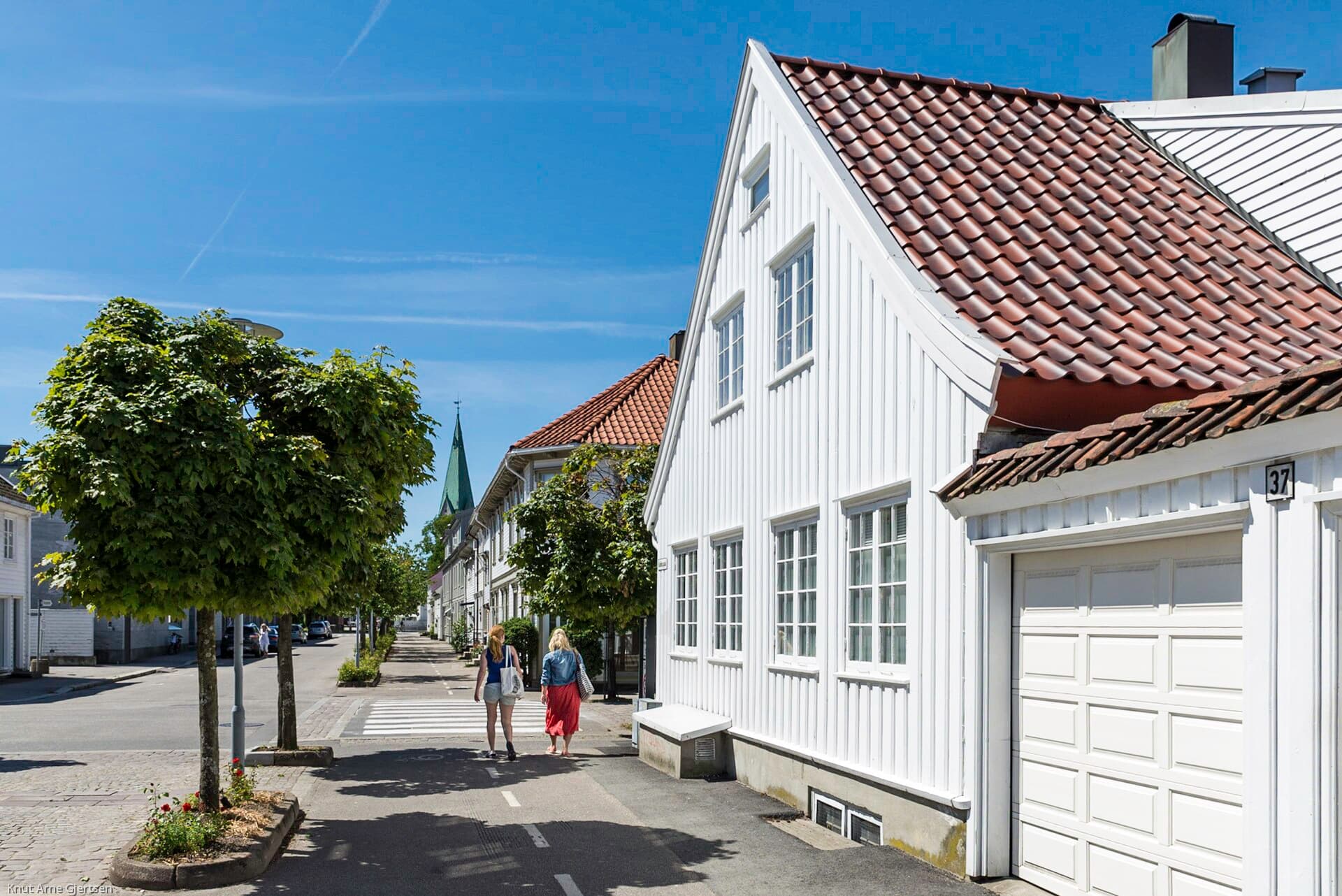
Christian IV laid Kristiansand out in 1641 as a square grid on a sandy spit, and the grid is still there — the Kvadraturen, forty-odd blocks of straight streets that make this the easiest town in Norway to navigate without looking at anything. The north-western corner of it, Posebyen, kept its low white wooden houses when the rest went to brick. Beyond the grid the town has two things most southern ports do not: a former naval island you can walk the whole way round, and a pair of nineteenth-century landscape parks cut into the rock behind the streets.
Going ashore
Ships tie up at Silokaia on the western harbour, at the landward end of Odderøya, with the grain silo turned art museum standing over the berth. The Fiskebrygga fish quay is five level minutes away and nothing in the grid is more than fifteen minutes from the ship. Every route in this guide starts from the gangway and none of them needs a bus. The zoo does — a bus each way and five hours minimum — and the guide sends you there only on the ship's own excursion, if at all.
The walks
- 01
The Kvadraturen and Posebyen
5 km · 2 hours · 20 m upThe grid, walked the short way across it. Up from the harbour past Christiansholm Fortress — the round 1670s bastion on the sea wall — through Markens gate, the main street, to the cathedral, then west into Posebyen where the streets narrow and the houses go white and wooden. Comes back down through the fish quay at Fiskebrygga. Completely flat, and every turn is a right angle.
- 02
Odderøya and the sea edge
6.8 km · 4 hours · 95 m upThe island the navy held until 1999 and the town got back. A path rings it: gun emplacements and ammunition stores in the rock, a small lighthouse at the southern end, open water on three sides, and the artists' studios in the old barracks on the way back. Kunstsilo, the grain silo rebuilt as a museum of Nordic modernism, and the Kilden concert hall sit at the landward end, which is where the route finishes.
- 03
Baneheia and Ravnedalen
11.8 km · 6 hours · 180 m upThe full day, and the one nobody expects of a beach town. Behind the grid two parks were quarried and planted in the 1870s: Baneheia, a chain of small lakes on the ridge with swimming off the rocks in summer, and Ravnedalen next to it, a bowl with a waterfall and cliffs sixty metres high built by a general who set his soldiers to move the rock. Paths connect them; the guide takes the high line between the two and drops back into town past Gimle Gård.
What's inside
Look inside
Pages 1–6 are in the free sample. 38 pages in the full guide.
What the guide covers
- Kvadraturen
- Posebyen
- Kristiansand Cathedral
- Christiansholm Fortress
- Fiskebrygga
- Odderøya
- Kunstsilo
- Kilden
- Bystranda
- Baneheia
- Ravnedalen
- Dyreparken
3 routes · 36 numbered stops · 38 pages
When to go
This is the warm end of Norway and the country's own summer resort: 20–25 °C in June and July with the sea at 18–20, and in July half of Norway is on holiday here and the grid and the beach are full — the lakes and the island are the escape. August is still warm, empties when the holidays end mid-month, has the warmest water of the year and is the best month for the parks. May is light, quiet and green, with the sea too cold to swim. Southerly gales begin in September and October, when the kiosks and the Ravnedalen café close. Winter is mild, dark and wet rather than frozen, and few ships call; the Odderøya path is exposed enough that a southerly makes it genuinely unpleasant, and the guide gives the sheltered alternative through the grid.