Flåm
Brekkefossen, Otternes and the Rallarvegen descent on foot — not by coach.
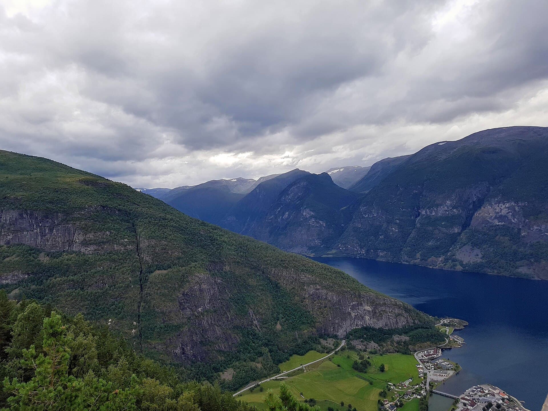
Flåm is a few hundred people at the head of the Aurlandsfjord, a 29-kilometre arm of the Sognefjord, and on a summer day it can have several thousand visitors standing in it. Almost all of them are there for the railway, which climbs 863 metres to Myrdal in about 55 minutes and takes them straight back down again. The point of walking here is that the crowd is entirely concentrated between the quay and the station: two hundred metres up the valley road there is nobody, and all three foot routes are out of it in ten minutes. The fourth takes the train up and walks the twenty kilometres back down.
Going ashore
Ships berth at the deep-water quay on the east side of the harbour, 300 metres from the station, with no tender. Along the waterfront past the brewery is the station square — tourist office, toilets, the railway museum, every café, the buses and the ferries. The Brekkefossen path starts at Brekke gard on the west bank, 1.5 km and 25 minutes up the valley lane. Three of the routes leave on foot from the quay; the fourth needs a one-way train ticket to Myrdal bought before you dock, and the guide gives the time you must be at Berekvam, halfway down, or take the train from there.
The hikes
- 01
Brekkefossen, the waterfall above the village
5 km · 2.5 hours · 200 m upShort but steep: 1.5 km of quiet lane, then a stepped path climbing 200 m to a ledge beside the fall with the whole harbour below. The shortest walk here and the hardest per minute. The free chapter.
- 02
Up the valley to Flåm church
8 km · 3.5 hours · 60 m upThe level one: the valley road beside the river and the railway to the old village and its 1667 church, then on to the gorge at Leina. The rain walk, the family walk, and the one for knees that have opinions.
- 03
The fjord road to Otternes
8 km · 3.5 hours · 130 m upAlong the east shore on the shore path to a hamlet of 27 farm buildings on a shelf 100 m above the water, most from the 1700s. One short climb at the end; the best view back at your own ship.
- 04
Myrdal to Flåm on foot
20 km · 8 hours · 60 m upThe railway to the top, then twenty kilometres back down the valley on the gravel road built to construct it: 21 hairpins, four waterfalls, two farms. All downhill, and that is the problem. Read page 16 first.
What's inside
Look inside
Pages 1–6 are in the free sample. 34 pages in the full guide.
What the guide covers
- Flåm Railway
- Brekkefossen
- Otternes farms
- Aurland
- Stegastein
- Rallarvegen
- Myrdal
- Kjosfossen
- Aurlandsfjord
- Flåm church
- Rjoandefossen
4 routes · 41 km · 34 pages
When to go
The Rallarvegen hairpins clear of snow from about mid-June, and the road above Berekvam closes with the first snow in autumn — outside that, route D becomes the walk from Berekvam, 11 km and 340 m down, and the guide says so rather than leaving you to find out at the top. The falls are loudest on the May melt and June is the best month for Brekkefossen; September, with the crowd gone, is the valley walk's best. Otternes and the church open in mid-May and close at the end of September. Stegastein is a shuttle bus, not a walk, and is listed as one, as is the Nærøyfjord ferry.